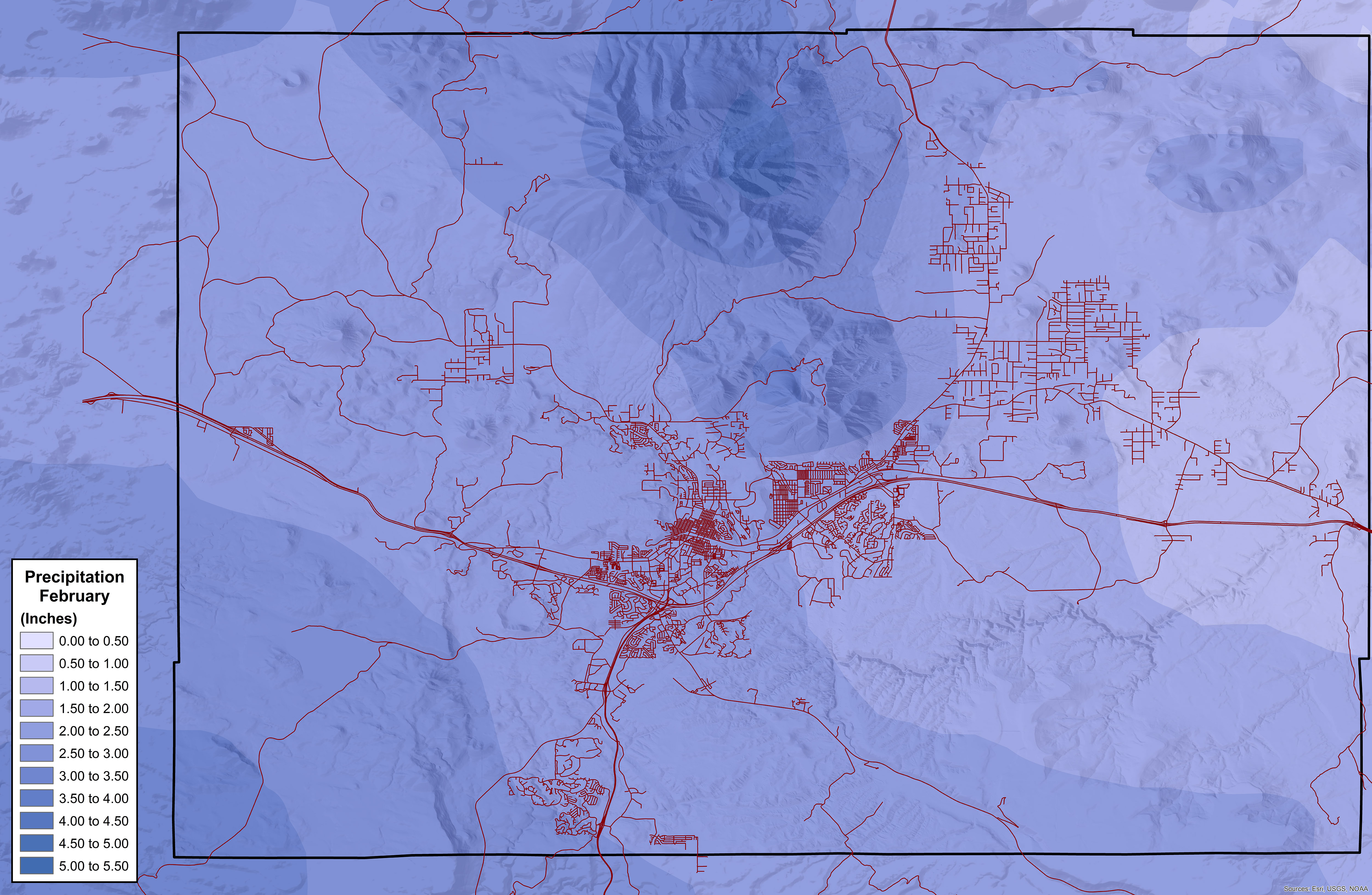
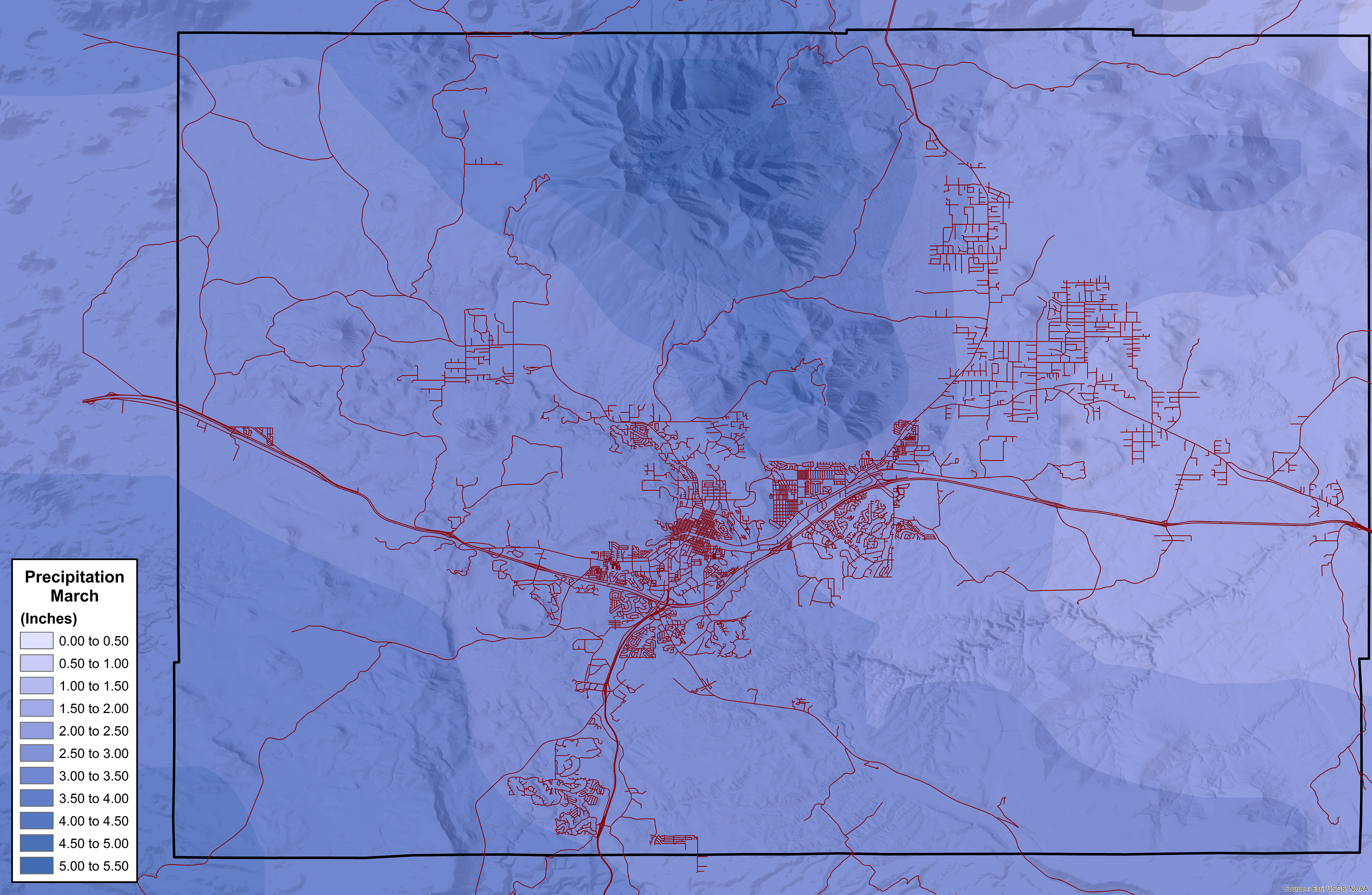
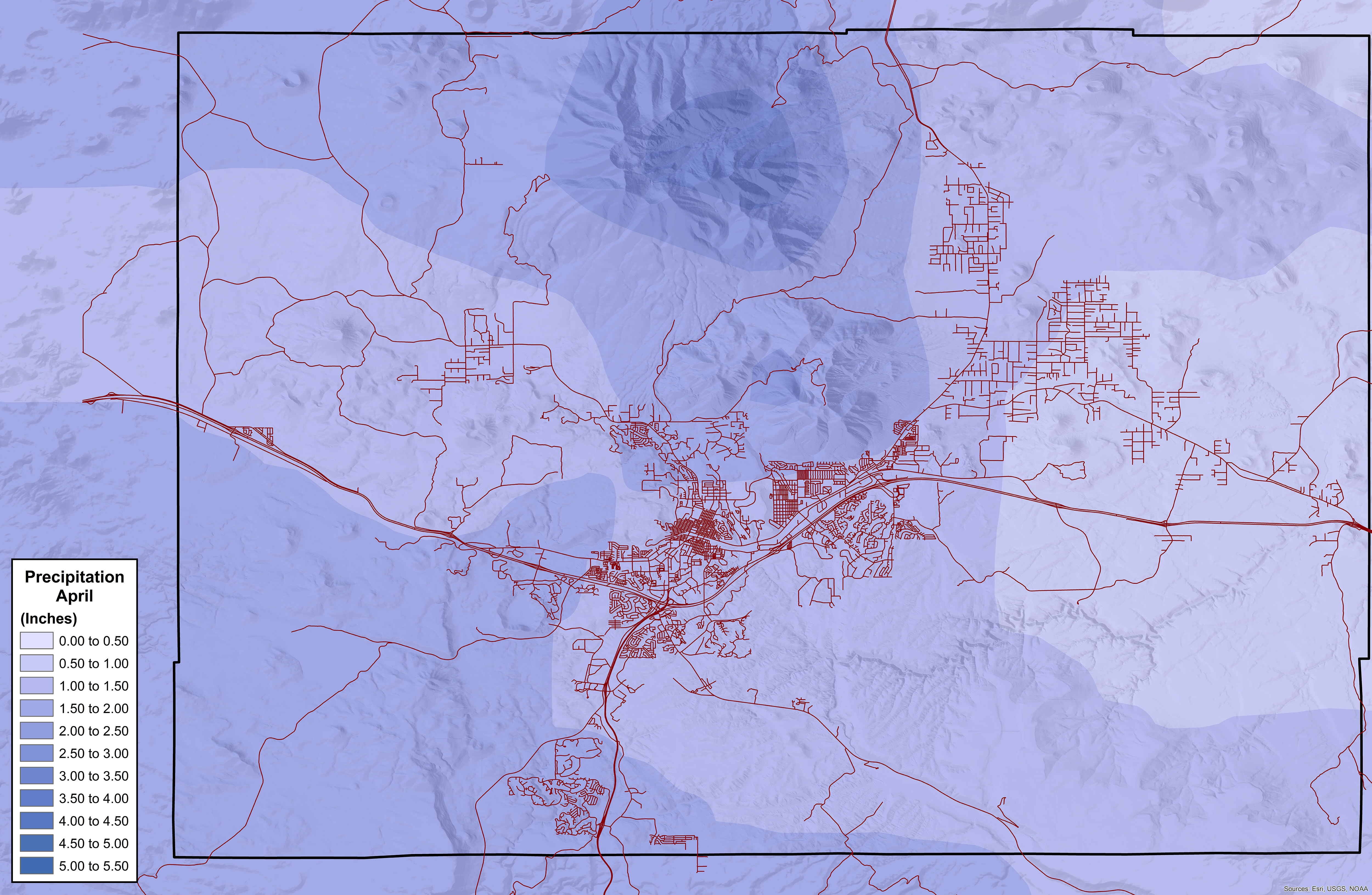
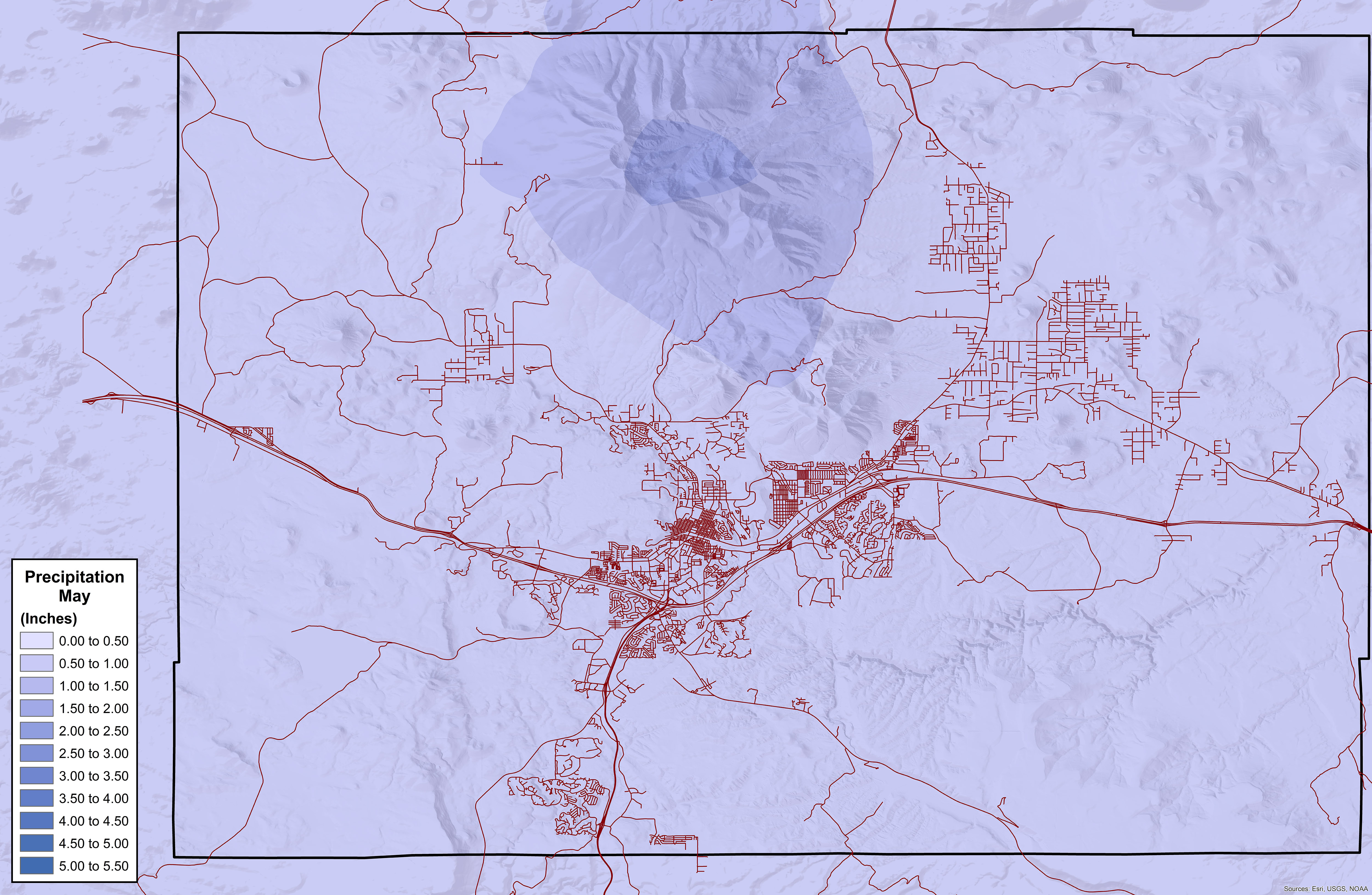
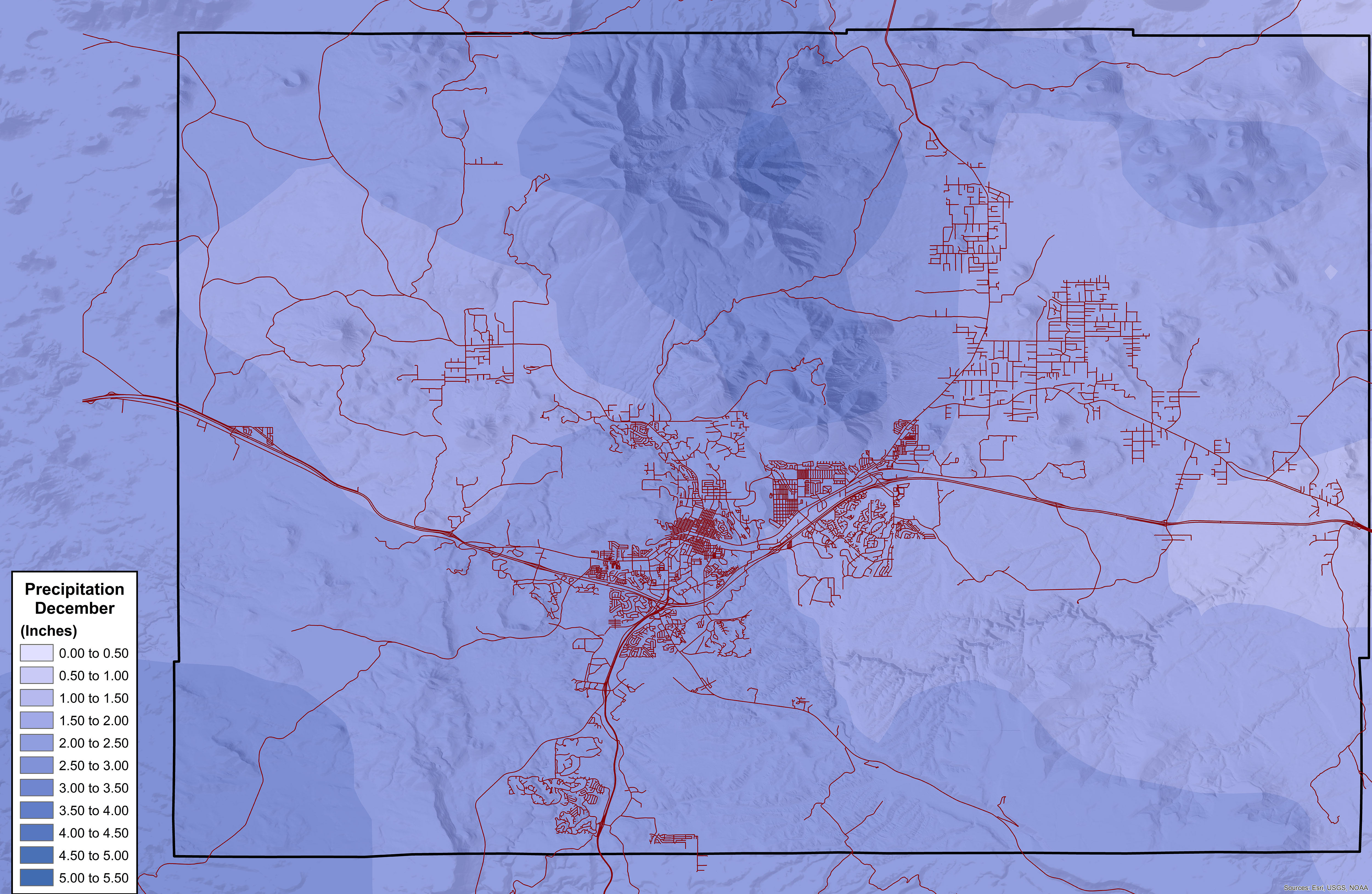
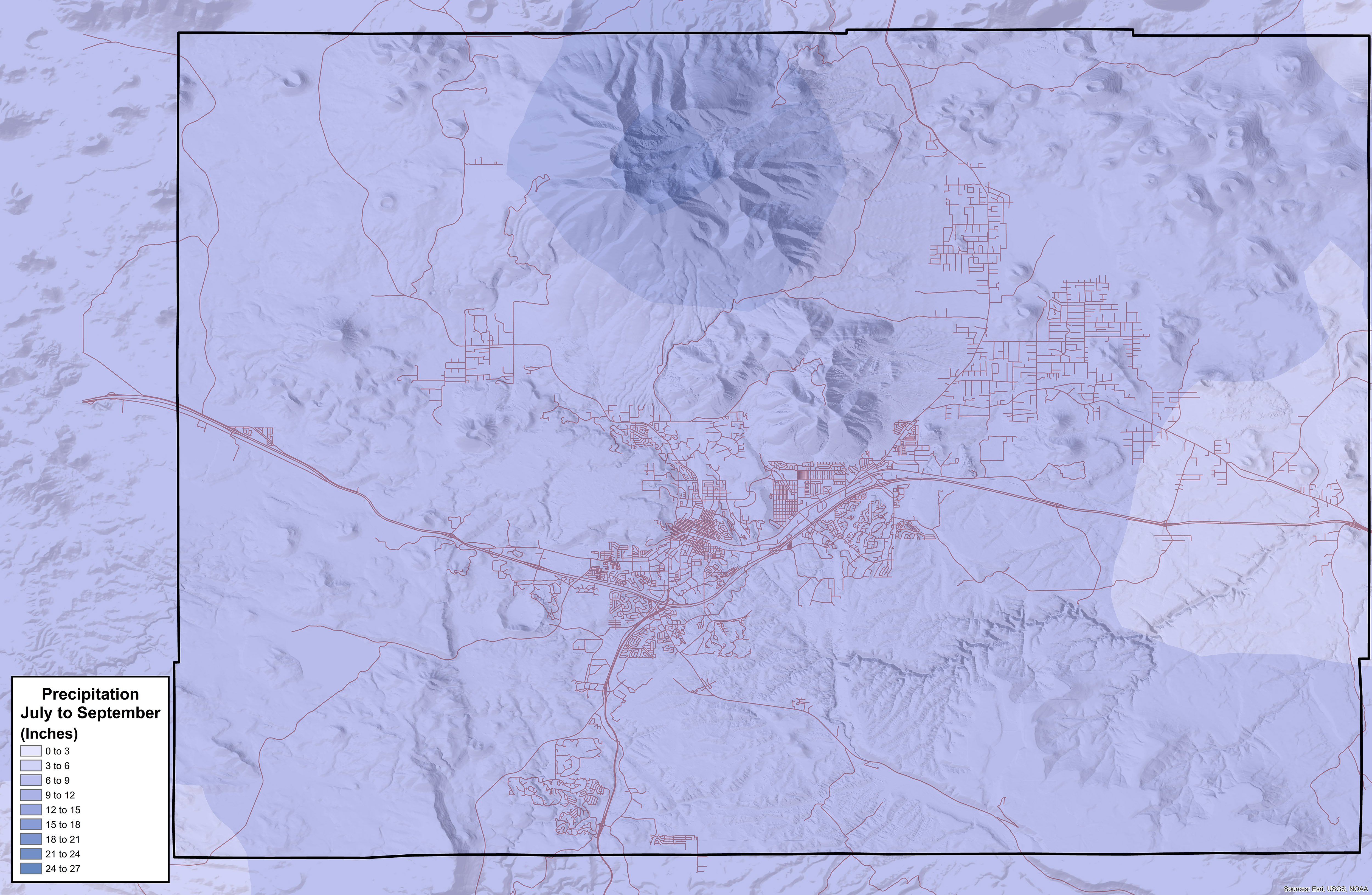
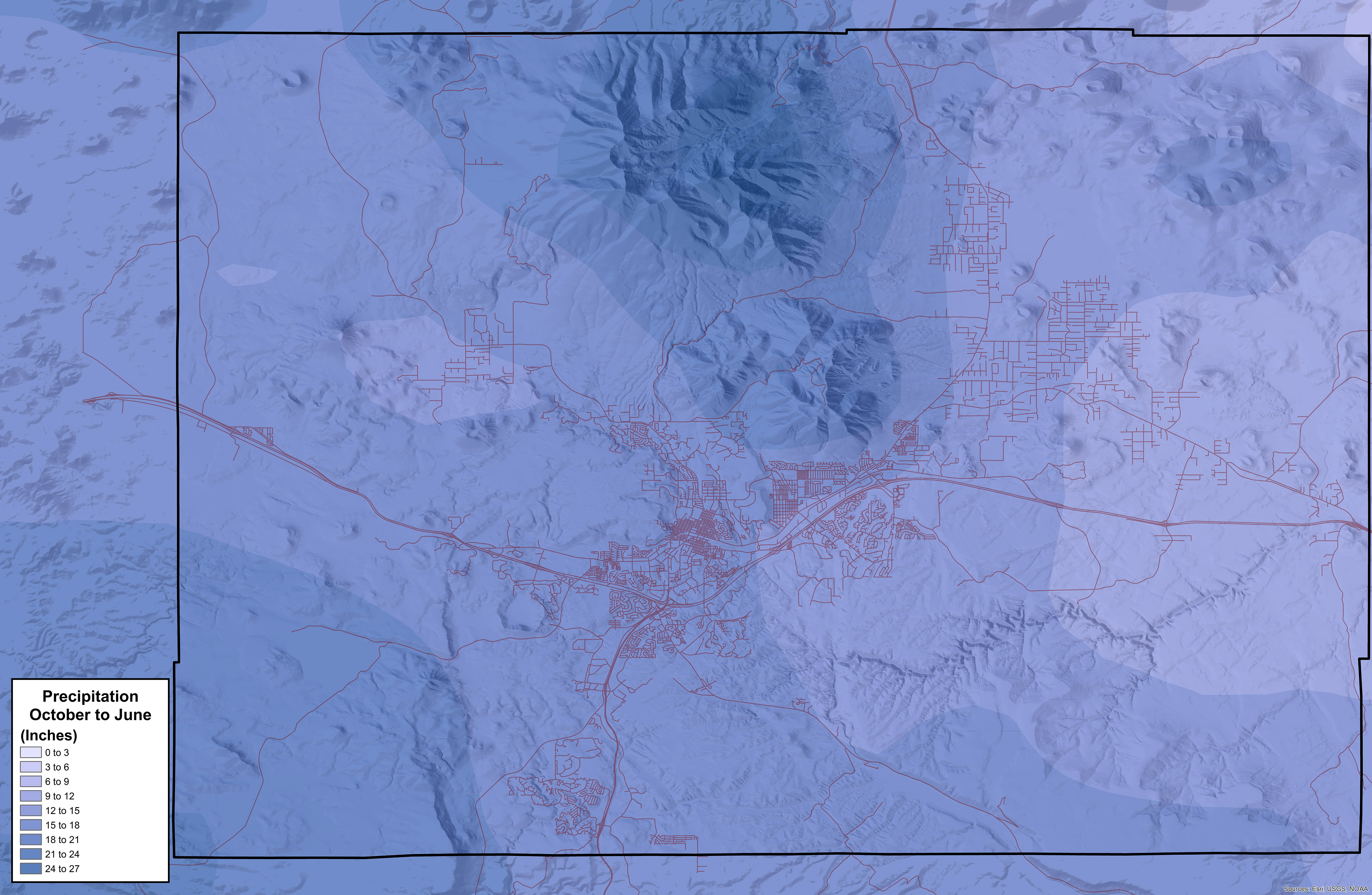
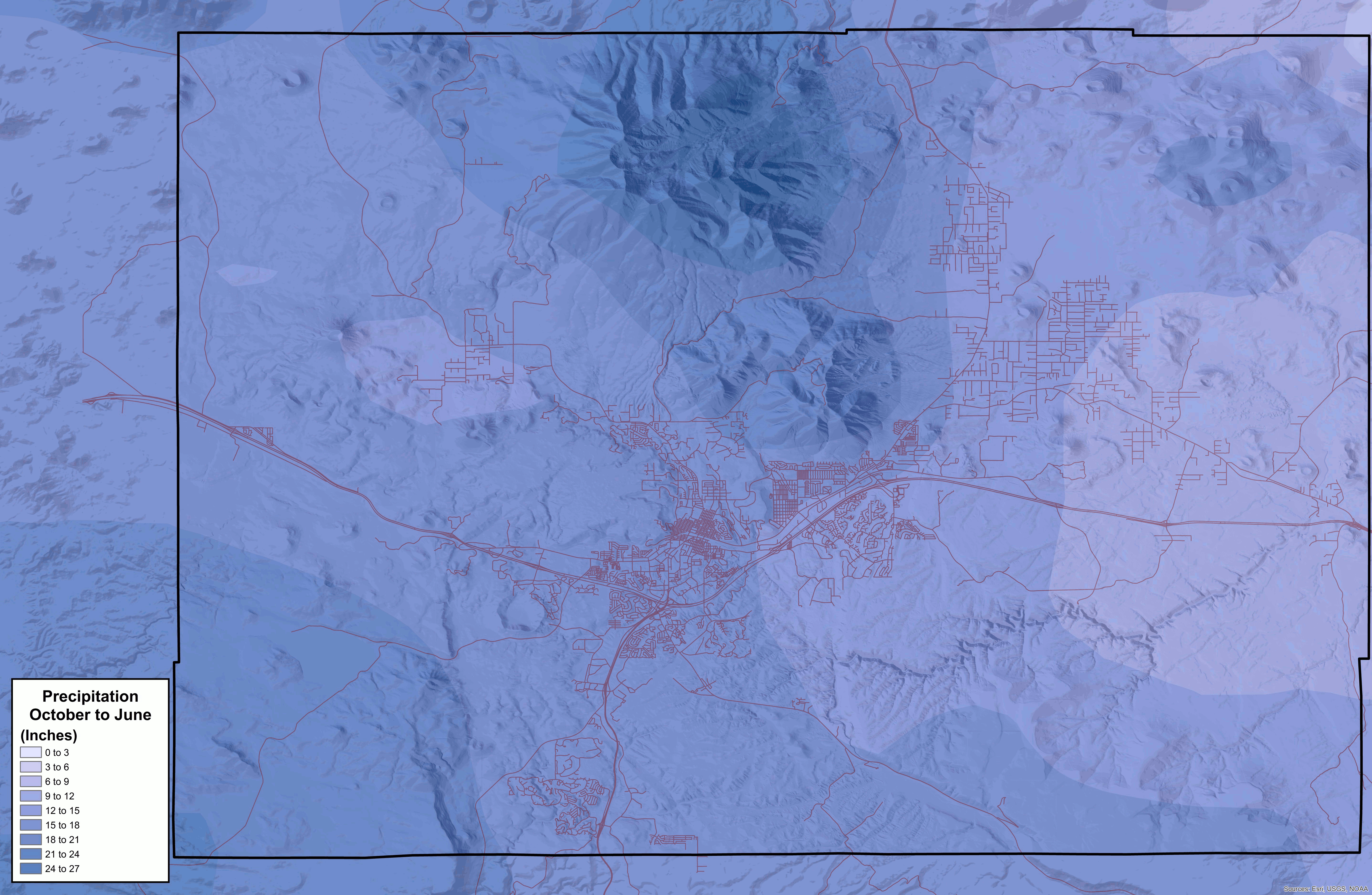
precipitation | rain, snow, sleet, or hail that falls to the ground.
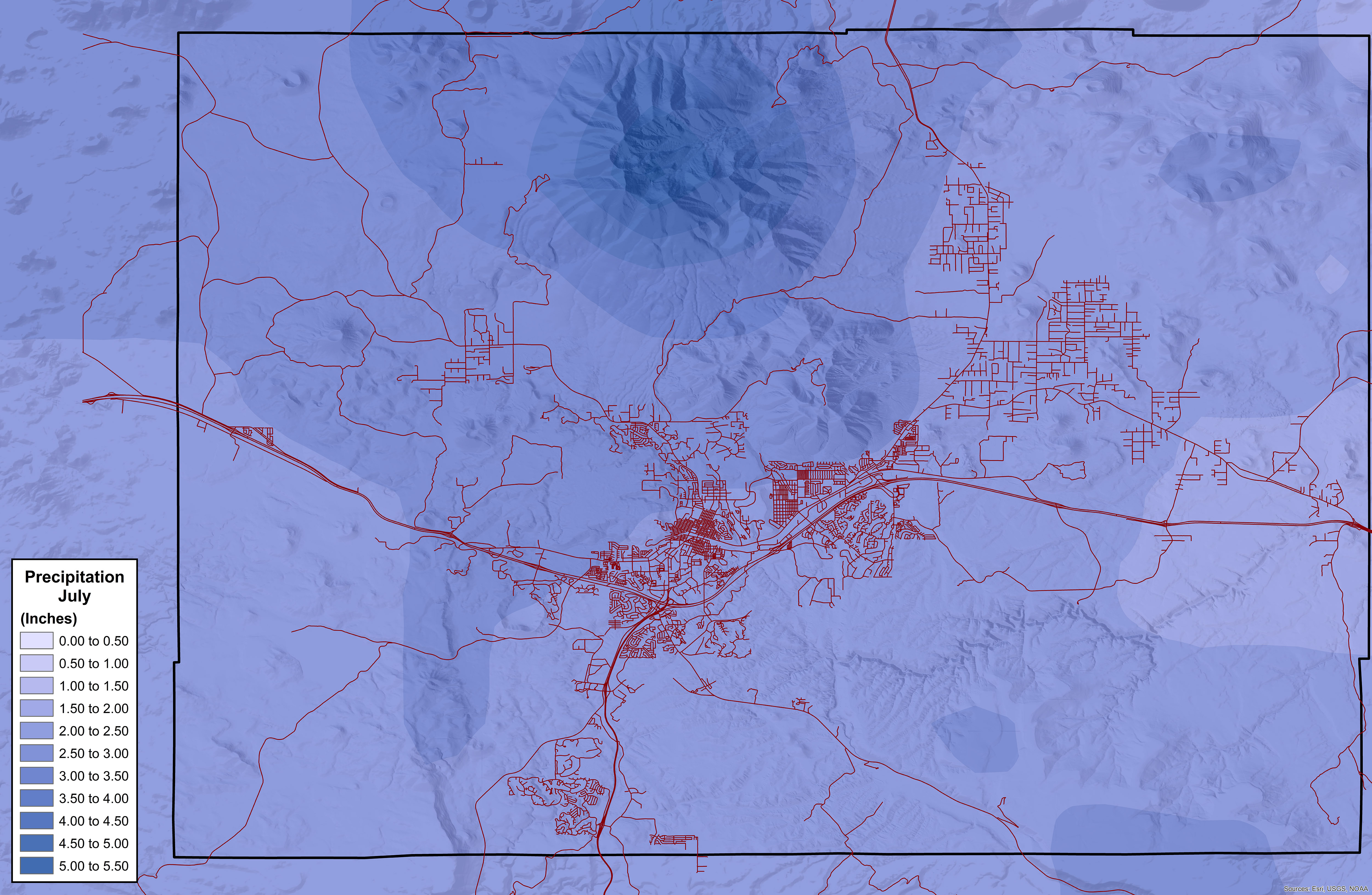
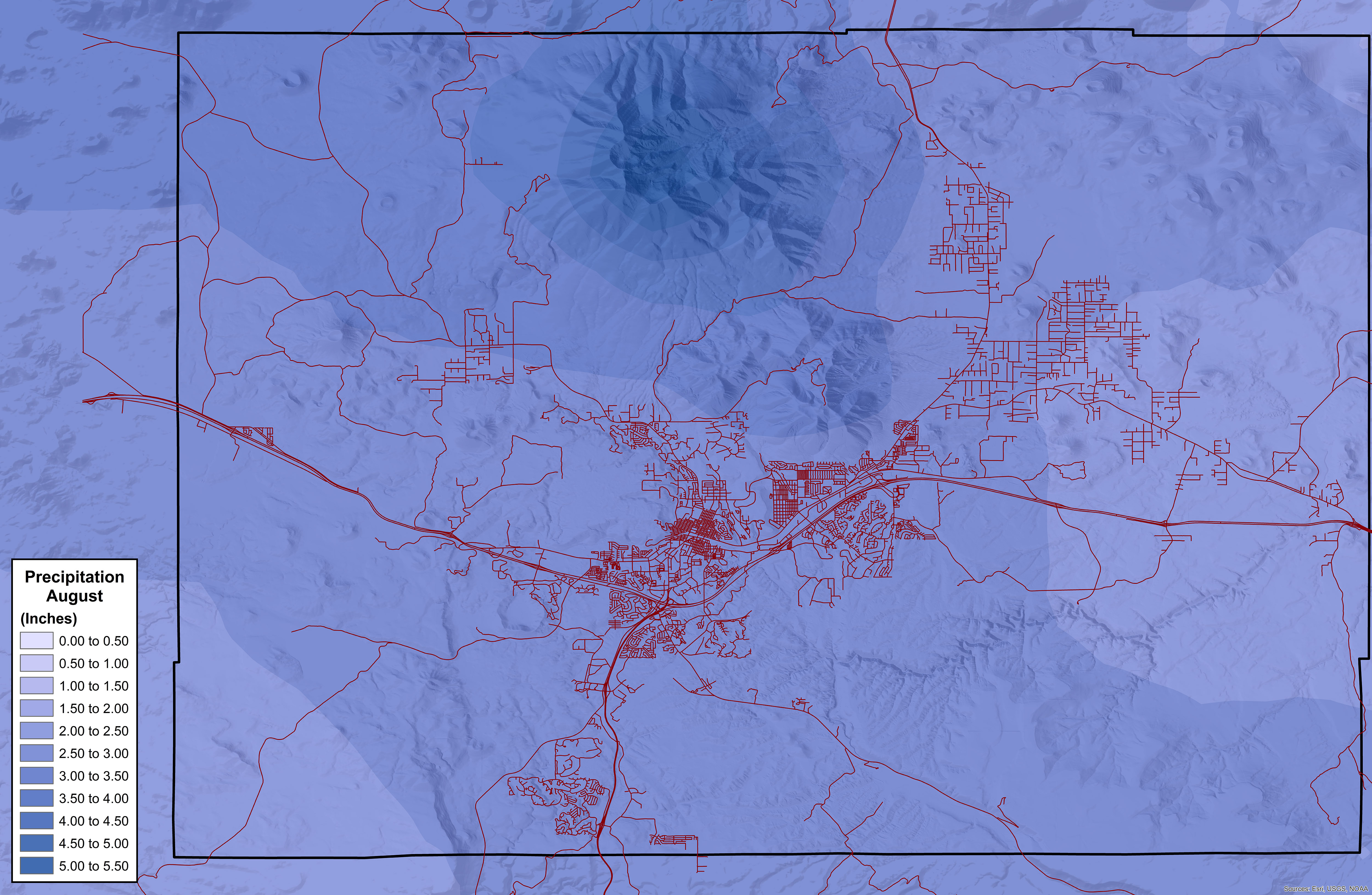
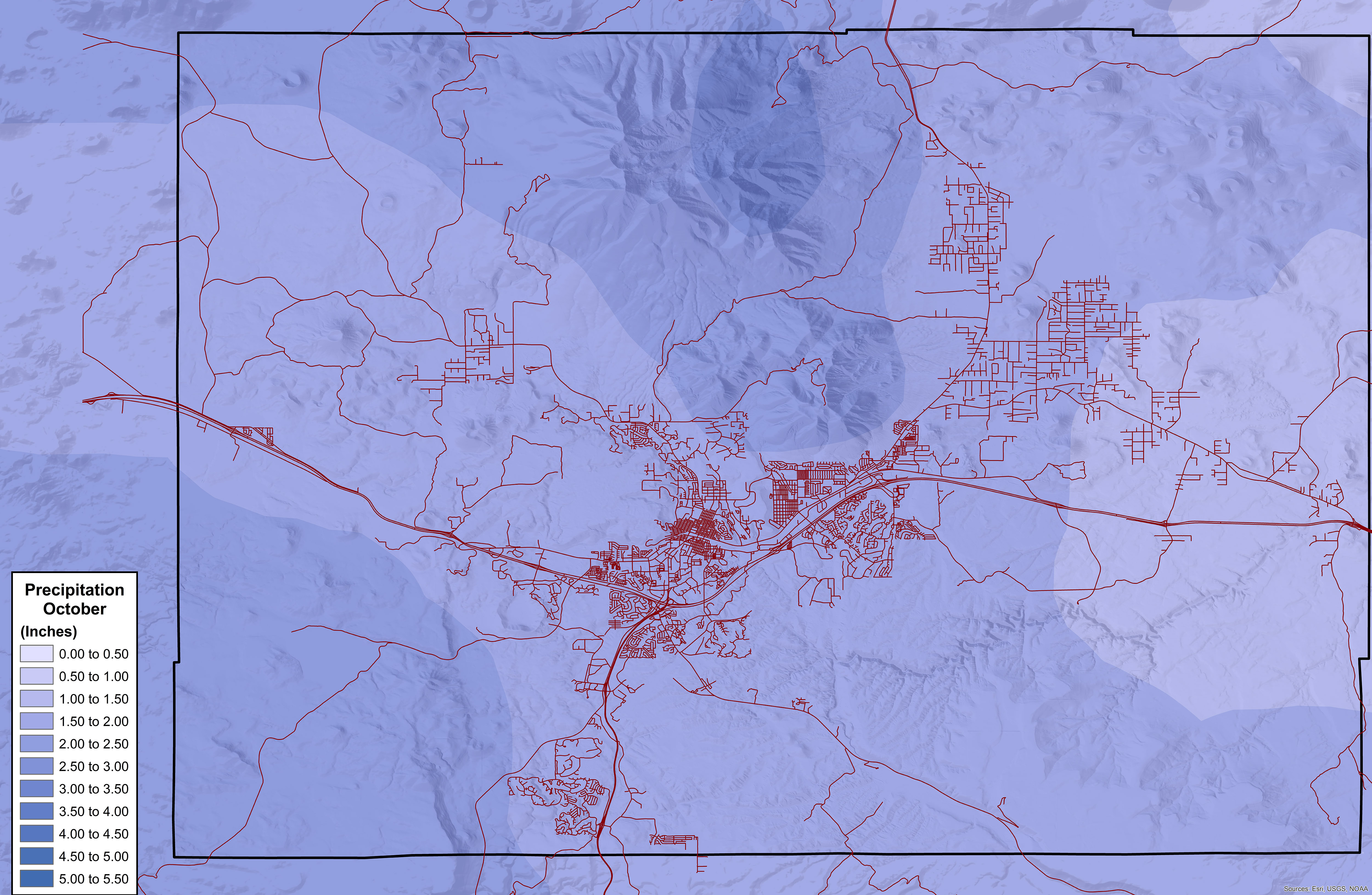
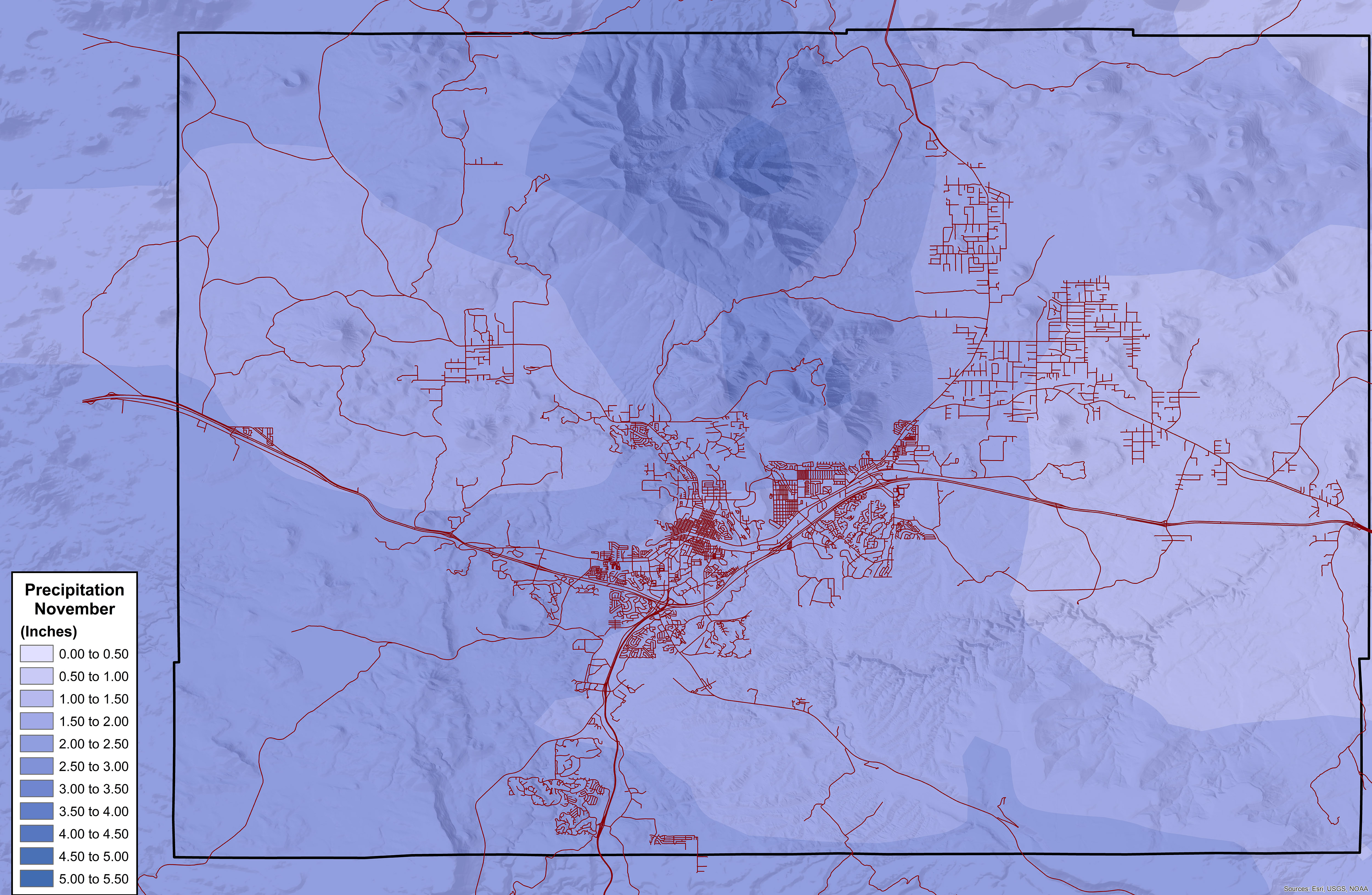
These maps illustrate variations in monthly average precipitation within the Flagstaff area based on data from the PRISM Climate Group. PRISM computes 30-Year Normals at the end of each decade. This dataset of 30-year normals covers the period 1981-2010. Precipitation in the Flagstaff area is notoriously variable; the precipitation in any given month is unlikely to equal the average for that month.
- January
- February
- March
- April
- May
- June
- July
- August
- September
- October
- November
- December
-
Animated Precipitation – Seasonal (allow several seconds for this animation to buffer)
-
Animated Precipitation – Monthly (allow several seconds for this animation to buffer)
—Maps by Dan Stewart.
Note: Maps are framed by the boundaries of the Flagstaff Metropolitan Planning Organization. FMPO is the federal designation for cooperative transportation planning by the City of Flagstaff, Coconino County, and the State of Arizona.
Observing vegetation is a fairly accurate way to determine effective precipitation over long periods of time. The Natural Resources Conservation Service used this method to produce an Available Water Supply map of selected parts of the Flagstaff area.
Click to read It’s Buggy Out There about the role of microorganisms in forming precipitation.